| |
| HIGH SURF ADVISORY IN EFFECT FROM 6 AM TO 10 PM PST SUNDAY FOR THE CENTRAL OREGON COAST, COASTAL FLOOD WATCH IN EFFECT FROM SUNDAY EVENING THROUGH MONDAY AFTERNOON FOR THE CENTRAL OREGON COAST | |
| Issue Time: 2:08 PM PST Saturday Dec 1 2007 | |
| Valid Until: 4:15 AM PST Sunday Dec 2 2007 | |
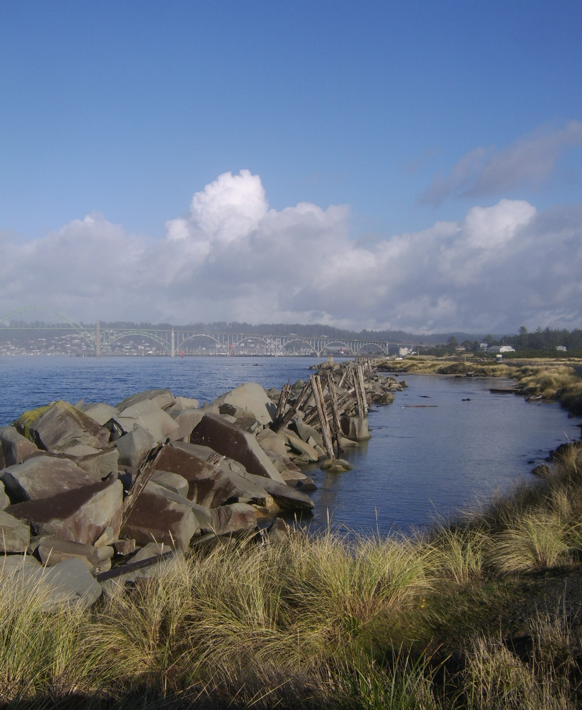
| HIGH SURF ADVISORY IN EFFECT FROM 6 AM TO 10 PM PST SUNDAY FOR THE CENTRAL OREGON COAST UNTIL 4:15AM PST Urgent - Immediate Broadcast Requested Coastal Hazard Message National Weather Service Portland OR 208 PM PST Sat Dec 1 2007 Central Oregon Coast- 208 PM PST Sat Dec 1 2007 ...High Surf Advisory In Effect From 6 AM To 10 PM PST Sunday For The Central Oregon Coast... ...Coastal Flood Watch In Effect From Sunday Evening Through Monday Afternoon For The Central Oregon Coast... The National Weather Service In Portland Has Issued A High Surf Advisory...Which Is In Effect From 6 AM To 10 PM PST Sunday. A Coastal Flood Watch Has Also Been Issued. This Coastal Flood Watch Is In Effect From Sunday Evening Through Monday Afternoon. The Initial Portion Of A Very Strong Pacific Storm Will Move Into The Central Coast On Sunday. Seas As Measured By Buoys Just Offshore Will Top 20 Feet After Daybreak On Sunday And Rise To Around 25 Feet By Midday. Seas May Drop Off A Few Feet Late Sunday Afternoon And Early Evening Before Seas Build Again With The Stronger Portion Of This Storm. Seas Will Build To Near 40 Feet Early Monday Morning And May Top 45 Feet By Later Morning. These Seas Combined With Very Strong Winds And High Tides Have The Potential To Push The Ocean Into The Land Causing Damage And Flooding. High Tide On Monday Morning Will Be 745 AM Along The Central Oregon Coast. A High Surf Advisory Means That High Surf Will Affect Beaches In The Advisory Area...Producing Localized Beach Erosion. Seas Of This Magnitude Are Capable Of Rolling And Moving Large Logs In The Beach Area. Persons Near The Beaches Need To Use Caution Near These Logs Or Beach Debris. A Coastal Flood Watch Means That Conditions Favorable For Flooding Are Expected To Develop. Coastal Residents Should Be Alert For Later Statements Or Warnings...And Take Action To Protect Property. |
High Winds Forecast in County
LCSD has taken part in a briefing with Lincoln County Emergency Services regarding strong damaging winds that are probable along the coast and in the Coast Range Sunday and Monday, December 2 and 3, 2007. Winds on Sunday have a potential of 50 mph with gusts to 70. On Monday, 65 mph sustained winds are predicted, with gusts to 100.
If it is determined that schools and buses will operate as usual on Monday, no statement will be issued from the District. If buses and schools are impacted, information will be provided in the following ways:
►By 6:00 a.m. local radio stations and major Portland TV news stations will be
notified and will begin making announcements.
►A message will be recorded on the LCSD 24-hour information line: 265-4437.
►By 6:30 a.m., the LCSD website www.lincoln.k12.or.us will be updated with the
current school closure/delay information.
►If local radio stations are off the air, please tune your radio to channel a.m. 1110
out of Bend.
Power outages and/or downed power lines may make Internet access and phone messaging systems unavailable. Because of isolated inclement weather situations, some areas might close or have a two-hour delay, while other unaffected areas will remain open.
To the extent forecasting the weather is like playing music, Oregon meteorologists Thursday were cranking up the volume.
Forecasters from the public and private sector, as well as the media, were scrambling to get their arms around a double-whammy of winter weather barreling toward the region. They expect a rare Willamette Valley snowstorm Saturday, followed by what some predict will be a once-a-decade storm packing high winds and heavy rains early next week.
The National Weather Service has said it might issue its first hurricane wind warning for Oregon in advance of the second storm.
"Everything points to this being a very strong, prolonged event," said the weather service's Ira Kosovitz. "We could see sustained winds of 90 miles per hour, if not 100."
The ingredients for snow Saturday at the lower elevations in northwest Oregon and southwest Washington are coming together, with the highest likelihood of accumulations in the area from Salem in the south to Olympia in the north.
"I think we'll see snow starting around 10 or 11 a.m. lasting for a couple of hours but with not a lot of accumulation," said Clinton Rockey of the National Weather Service in Portland. "It should change over to rain by midafternoon, but snow throughout the day in the Columbia River Gorge and the Cascades."
As noteworthy as that forecast is -- snow being rare around here -- the biggest news Thursday at the National Weather Service offices in Portland was the approaching "monster" Pacific storm that's going to bring potentially damaging winds and widespread flooding to the region Sunday into Monday and Tuesday.
The size and scope of the storm -- which has tapped into the energy of typhoons Mitag and Hagibis -- may prompt the first hurricane force wind warning, which would mean sustained winds of 74 mph or higher on the Oregon and Washington coasts.
That's a big deal, but not quite as big as the "first in history" designation might suggest.
Bill Schneider, the science and operations manager for the weather service, said the agency was given the go-ahead by the National Oceanic and Atmospheric Administration only five years ago, in 2002, to issue such a warning "to highlight the extreme nature of rare storms that may only occur once every 5 to 10 years."
Schneider said such storms -- extratropical cyclones -- don't have the structure of a hurricane, and shouldn't be confused with an actual hurricane, but they are, in fact, larger and have a broader impact zone.
After the wind comes the rain. George Taylor of the Oregon Climate Service characterized the looming storm as a "hybrid," with traits similar to the damaging windstorm of December 1995 and the flooding rains of November 1996.
Forecast models show a plume of moisture extending from Oregon to Hawaii by late Sunday, a classic Pineapple Express that's been called an atmospheric river.
"The intensity of the winds followed by intense rains makes it a very significant storm with big-time rain," Taylor said. "We could see three to four inches (of rain) in the valley, and even more at higher elevations."
The storm is expected to combine rising snow levels with heavy rains, a recipe responsible for damaging floods.
Snow levels -- which have been below pass level this week, allowing Timberline to go to full operations, and Mt. Hood Meadows, Mt. Bachelor and Mt. Hood Skibowl to open additional lifts -- will begin to rise Sunday.
Matt Zaffino, meteorologist for KGW (8) in Portland, said the storm's deep area of low pressure is one of the strongest he's seen in recent memory, even stronger than the Columbus Day Storm of October 1962. He predicted that this storm, however, won't be as damaging as that storm because it will stay farther offshore.
Even so, Zaffino said, "This thing is an absolute monster -- it covers the entire Northeast Gulf of Alaska.
"It's huge."
Stuart Tomlinson: 503-221-8313; stuarttomlinson@ news.oregonian.com
 Wayne Hill Shares ThisWith US.......
 at the LVH clubhouse on Tuesday evening, November 27, 2007, modeling their new official C.E.R.T. jackets. In addition to the LVH C.E.R.T. team, there were also members from the greater Newport area in attendence. Even though this seems like alot of members, there were about 30 or so that were unable to make it for the photo op.